Automated 3D Topographical Contours, Council Utility Overlays, and High-Res Drone Imagery for Property Developers, Architects, Solar Installers, and Civil Engineers in Canterbury. De-risk your site on Day 1.
We fly the site to capture a high-resolution, georeferenced orthomosaic. See exactly where existing trees, fences, and assets are located before drawing a single line.
We extract authoritative LINZ LiDAR data to generate 0.25m bare-earth contours, mathematically filtering out tree canopies and houses to reveal the true ground slopes.
We automatically map all Council 3-Waters (Stormwater, Wastewater, Water Supply) directly onto your CAD files, preventing expensive design revisions later.
High-precision data, formatted exactly how design professionals need it.
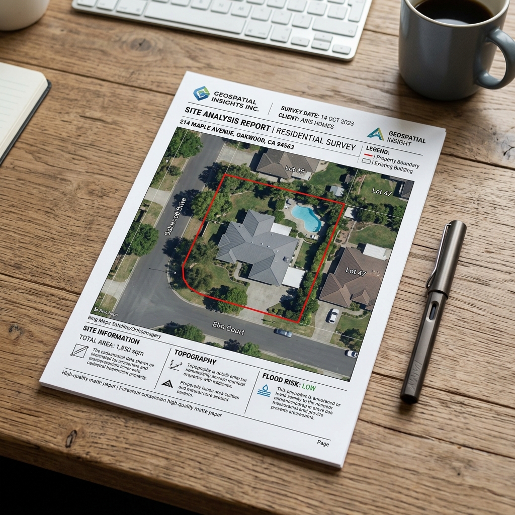
A highly professional, client-ready 3-page report detailing site hazards, utilities, and boundaries.
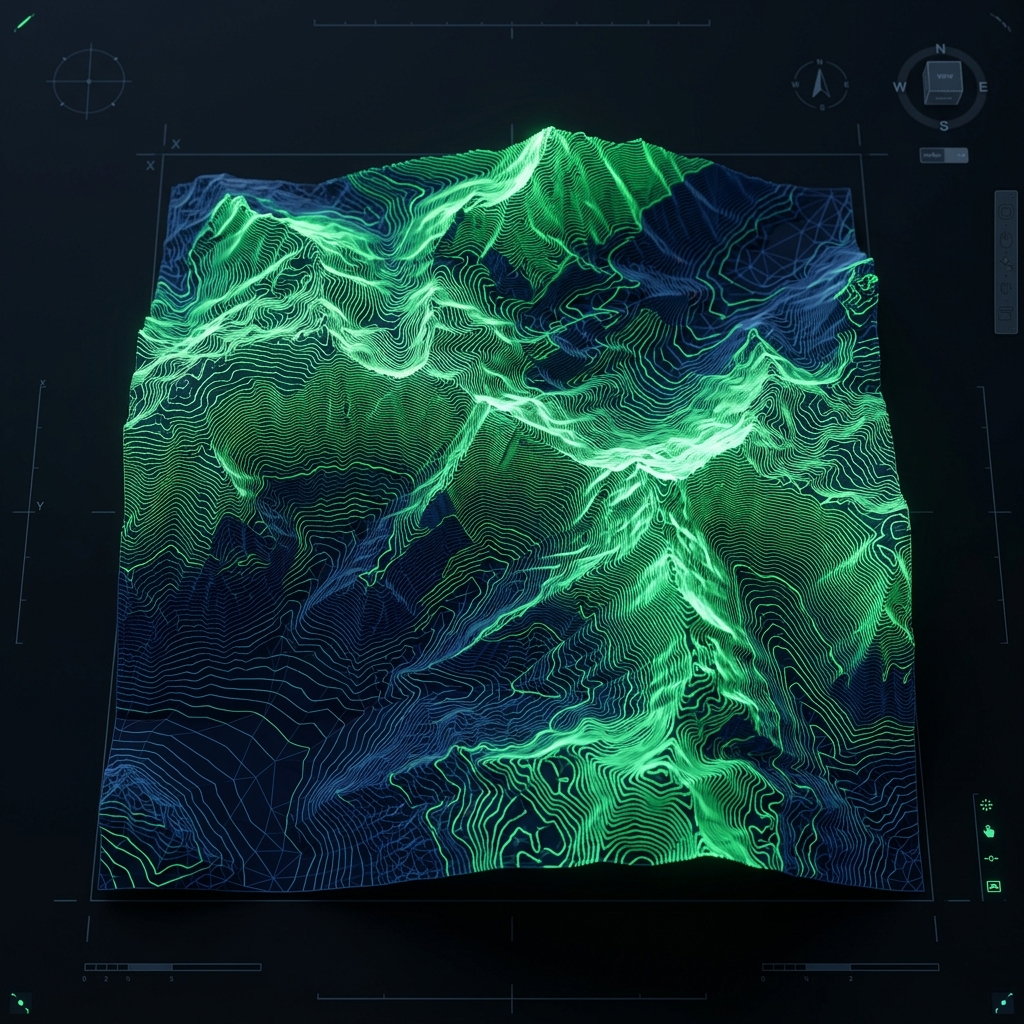
True bare-earth contours extracted from LINZ LiDAR, ready to drag-and-drop straight into Revit or ArchiCAD.
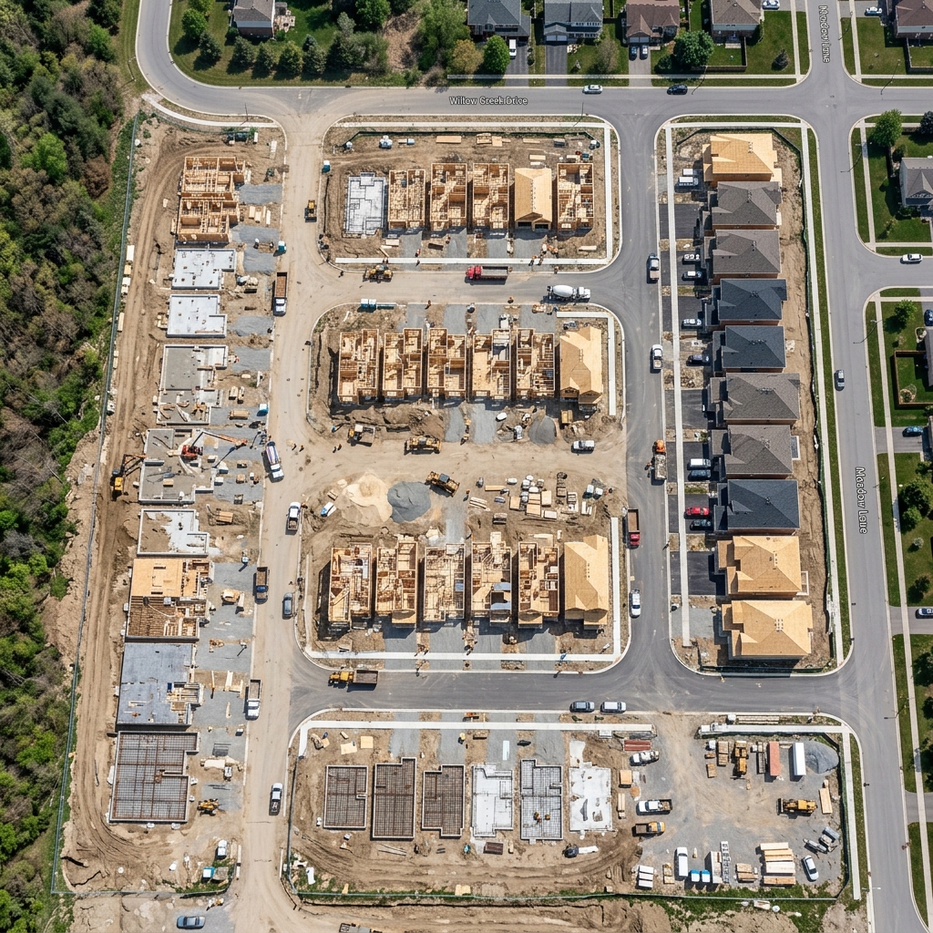
A sub-centimeter accurate 2D map of your site, showing every tree, fence line, and existing structure.

A mathematically generated 3D clearance envelope (HIRB) bounding box, perfect for proving Height-to-Boundary compliance.
We combine deep Geospatial and GIS expertise with advanced Photogrammetry technology to produce highly accurate spatial products tailored to meet the exact needs of property developers and engineers. We don't just fly drones; we mathematically fuse multiple authoritative data streams to ensure absolute spatial accuracy.
The data you need to start designing, at a fraction of the cost of a full topographical survey.
Perfect for early-stage feasibility and remote sites across Canterbury.
The ultimate pre-design contextual package for Christchurch development professionals.
Enter your site details below and our automated system will begin scoping the site immediately.
Automated Cut/Fill volumetric estimations and proposed Finished Floor Level (FFL) simulations. Calculate exact soil removal and fill requirements before breaking ground.
3D astronomical ray-tracing simulates Winter Solstice solar insolation. Our heatmaps prove panel viability by detecting exact shadow paths cast by neighboring trees and roofs.
D8 Flow Accumulation models predict exactly where overland surface water will pool and flow during extreme rainfall, providing critical data for resource consents.
Automated LiDAR canopy segmentation isolates significant trees, calculating biomass volumes and mapping Root Protection Zones (RPZ) for council compliance.
Automated 3D Recession Plane (HIRB) modeling and vertical clearance clash detection. Instantly generate mathematical spatial proofs for Height-to-Boundary certificates without a 2-day manual survey.